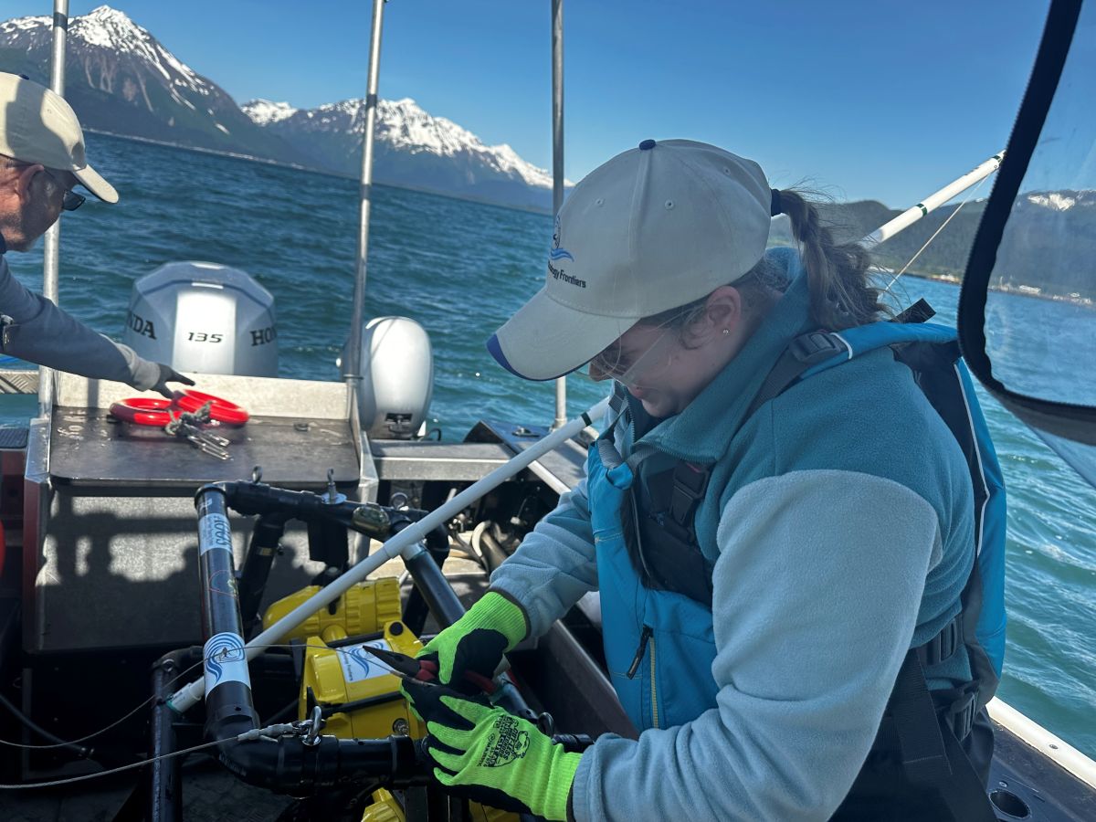
On a calm morning in Prince William Sound, a team of UAA undergraduate researchers moves slowly along the shoreline, alternating between careful measurements, photographs, and notes from conversations with residents who know the coast best. The work is deliberate because the story they are assembling is larger than any single tide, storm, or field season.
The students are part of a cross-disciplinary project examining how Alaska shorelines are changing and how communities can use better information when planning for erosion, infrastructure, habitat protection, and future development. Their work combines direct field observation with historical aerial imagery, satellite data, geographic information systems, and locally held knowledge.
Learning by doing in an Alaska-sized classroom
For the students, the project turns concepts from geology, geography, environmental science, data analysis, and public communication into a connected experience. They are not completing an isolated lab exercise. They are collecting information that must be accurate, documented, understandable, and useful to people outside the university.
Before entering the field, the team learns to prepare survey plans, calibrate equipment, evaluate data quality, and recognize the limits of a single observation. After returning to campus, they organize the information, compare it with older records, and build maps that show where the shoreline appears stable and where change is accelerating.
Community knowledge adds context that maps cannot
Measurements can show where a shoreline sits today, but community members can explain how access, storm patterns, ice conditions, drainage, and human activity have changed over decades. The research team treats those observations as essential context rather than an afterthought.
The strongest map is not just technically correct. It also reflects what people who live with these changes are seeing and asking.
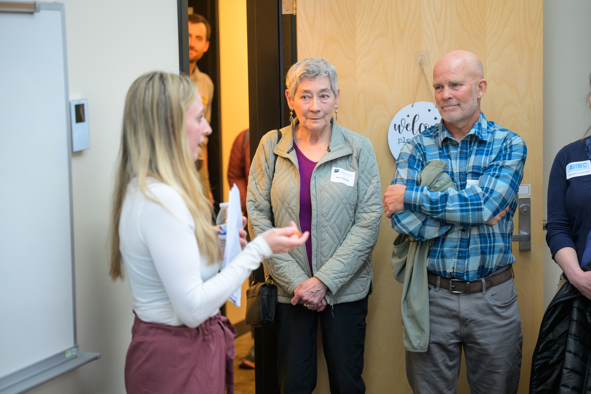
Students meet with local partners before and after field collection. Those conversations help the team identify priority sites, clarify the questions a community needs answered, and present findings in formats that can support public meetings, grant applications, and planning discussions.
Research experience that changes what students see as possible
Students rotate through several responsibilities: equipment setup, field notes, data management, map production, quality review, and public presentation. That broad experience helps them understand how each step affects the final result and gives them material for portfolios, conference presentations, internships, and future employment.
The project also introduces students to the collaborative nature of applied research. A geospatial specialist may work beside a biologist, a communications student, a community planner, and a resident whose observations span a lifetime. No one perspective answers every question.
What students are learning
- How to design and document repeatable field methods.
- How to evaluate uncertainty and communicate limits honestly.
- How to combine quantitative data with historical and community context.
- How to present technical findings to several different audiences.
- How research can support practical decisions without replacing local leadership.
What comes next
The team will continue processing this summer's field records during the fall semester. Students will prepare public-facing maps, short technical summaries, and presentations for community partners. Several also plan to submit their work to UAA's Undergraduate Research and Discovery Symposium.
Future phases could revisit the same sites to establish a stronger record of change over time. The project team is also exploring ways to make selected datasets easier for educators, local governments, and residents to use.
About this project
This prototype story demonstrates how a Drupal News Story can connect a narrative article with related people, academic units, research programs, media contacts, topic terms, campus ownership, and reusable media.